
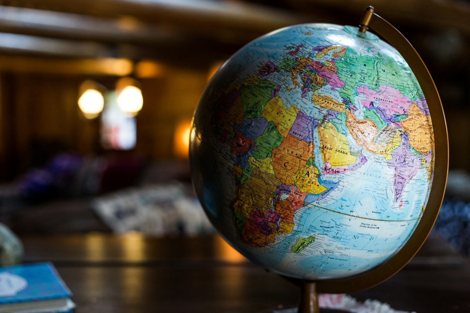
Introduction: The Map That Deceived the World
Look at almost any world map—whether hanging in a classroom, printed in an atlas, or displayed on digital platforms—and you will see a familiar image: Russia appears massive, spanning the top of the map like a giant frozen behemoth. Greenland looks comparable in size to Africa. Canada seems to stretch endlessly across the northern hemisphere.
But these maps are lying to you.
The truth, hidden behind centuries of cartographic tradition, is staggering: Africa is actually wider than Russia. In fact, the African continent is so enormous that it can contain nearly the entire landmass of Russia, China, the United States, India, and most of Europe combined.
This article explores the fascinating and often troubling history of how maps have distorted our perception of the world, why Africa has been consistently minimized, and what the true size of our planet’s landmasses actually looks like.
Part 1: The Shocking Truth – Africa’s True Size
1.1: The Numbers That Will Change Your Perspective
Let’s start with the raw data. The actual land areas of continents and major countries:
| Landmass | Actual Area (Square Kilometers) |
|---|---|
| Africa | 30.37 million km² |
| Russia | 17.1 million km² |
| Canada | 9.98 million km² |
| China | 9.6 million km² |
| United States | 9.83 million km² |
| Brazil | 8.51 million km² |
| Australia | 7.69 million km² |
| India | 3.29 million km² |
Now, do the math:
Africa’s total area (30.37 million km²) is greater than Russia (17.1 million km²). In fact, Africa is approximately 1.77 times larger than Russia. To be precise, you could fit almost two Russias inside Africa.
Even more striking: You could fit China, the United States, India, Japan, and most of Europe inside Africa, with room to spare.
1.2: Visualizing the Distortion
On most standard world maps:
- Greenland appears roughly the same size as Africa
- Russia appears to dominate the entire northern hemisphere
- Africa appears to be only slightly larger than Greenland
The reality:
- Africa is actually 14 times larger than Greenland
- Africa’s actual area: 30.37 million km²
- Greenland’s actual area: 2.17 million km²
When cartographers and educators share the “true size” comparison, it often shocks viewers who have spent their entire lives seeing distorted representations.
1.3: Why This Matters
The distortion is not merely a cartographic curiosity. It has profound implications:
- Geopolitical perception: Countries near the equator appear smaller than they are, while far-northern countries appear larger
- Resource awareness: The true scale of Africa’s landmass—with its vast resources, ecosystems, and biodiversity—is visually minimized
- Educational impact: Generations of students have grown up with a fundamentally inaccurate understanding of global geography
- Cultural perception: The visual diminishment of Africa on world maps has historically paralleled attitudes that dismissed the continent’s scale and significance
Part 2: The Cartographic Problem – How We Got Here
2.1: The 16th Century Navigation Map
In 1569, a Flemish cartographer created a map designed for a specific purpose: navigation.
This map projection was revolutionary for sailors. It preserved angles and shapes, allowing navigators to draw straight lines that represented constant compass bearings. If a ship wanted to sail from Europe to the Americas, a navigator could draw a straight line on this map and follow that bearing.
But this projection came with a significant trade-off: area distortion.
2.2: The Mathematics of Distortion
The projection works by projecting the spherical Earth onto a flat cylinder. The mathematics behind it are straightforward but produce dramatic results.
As you move away from the equator toward the poles, the map stretches landmasses to maintain shape accuracy. The stretching increases exponentially:
| Latitude | Distortion Factor |
|---|---|
| Equator (0°) | 1x (true size) |
| 30° N/S | 1.15x |
| 45° N/S | 1.41x |
| 60° N/S | 2x |
| 75° N/S | 3.86x |
| 85° N/S | 11.5x |
This means that landmasses near the poles—like Russia, Canada, Greenland, and Antarctica—are dramatically exaggerated in size, while landmasses near the equator—like Africa, India, and Southeast Asia—appear significantly smaller than their true size.
2.3: The Greenland-Africa Deception
The most famous example of this distortion is the comparison between Greenland and Africa.
On a standard world map:
Greenland and Africa appear to be roughly comparable in size.
In reality:
- Greenland: 2.17 million km²
- Africa: 30.37 million km²
Africa is 14 times larger than Greenland.
You could fit Greenland into Africa approximately 14 times. This distortion occurs because Greenland lies at high latitudes (around 60° to 80° N), while Africa straddles the equator, where distortion is minimal.
Part 3: Alternative Map Projections – The Search for Truth
3.1: The Equal-Area Cylindrical Projection
In the 19th century, a Scottish cartographer developed an alternative map projection designed to preserve accurate area relationships between landmasses. This projection was later popularized in the 1970s as an alternative to the standard navigation map.
What it does:
- Preserves accurate area relationships between landmasses
- Shows Africa, South America, and other equatorial regions at their true scale
What it sacrifices:
- Shape accuracy—continents appear stretched vertically, especially near the equator
- Navigational utility—cannot be used for constant-bearing navigation
This map sparked significant controversy when it gained prominence in the 1970s and 1980s, as it challenged the visual dominance of Europe and North America that the standard navigation map had reinforced for centuries.
3.2: The Compromise Projection
Several modern map projections attempt to balance area distortion with shape distortion. These projections neither preserve area nor shape perfectly but minimize both to create a more visually accurate representation.
Characteristics:
- Balances area distortion with shape distortion
- Creates a more visually pleasing and generally more accurate representation than the standard navigation map
- Used by many geographic organizations and publications
Trade-offs:
- Still distorts area to some degree, particularly at the poles
- Shapes are somewhat curved rather than rectangular
3.3: The Advanced Equal-Area Projection
In recent decades, cartographers have developed increasingly sophisticated projections that divide the globe into equal regions and project them onto flat surfaces with minimal distortion in both area and shape.
Features:
- Maintains relatively accurate proportions for all continents
- Allows the map to be rearranged in different configurations without distortion
- Widely considered among the most accurate representations of Earth’s surface on a flat map
3.4: The Visually Pleasing Compromise
Another modern projection, developed in the mid-20th century, was designed to create a visually appealing compromise rather than strictly preserving any single property.
Characteristics:
- No single property (area, shape, distance, direction) is perfectly preserved
- All properties are distorted within reasonable limits
- Creates a pleasing visual appearance that feels “right” to most viewers
This projection was adopted by major geographic organizations before later transitions to other compromise projections.
Part 4: Why This Distortion Matters
4.1: Historical Context – Colonial Legacy
The 16th century navigation map emerged during the height of European colonialism and exploration. Its visual distortion—placing Europe at the center and exaggerating the size of northern continents—reinforced colonial-era worldviews.
Historical implications:
- Europe appeared larger and more central than it actually is
- Africa, home to vast empires and civilizations, appeared visually diminished
- The map reinforced perceptions of northern hemisphere superiority
- Colonial powers used such representations to justify expansion and exploitation
4.2: Modern Geopolitical Perception
Even today, this distorted projection influences how people perceive the relative power and importance of nations.
Perception versus reality:
- Russia appears to dominate Eurasia; in reality, Africa contains more land area
- Greenland appears as a massive landmass; in reality, it is a relatively small island
- Africa appears compact and manageable; in reality, it is a continent of staggering scale
This distortion affects:
- Education: Students learn geography from distorted maps
- Media: News coverage uses these familiar map projections
- Policy decisions: Perceptions of regional significance shape diplomatic and economic priorities
4.3: Environmental and Resource Implications
The true scale of Africa has profound implications for understanding:
- Climate patterns: Africa’s vast landmass influences global weather systems
- Biodiversity: The continent’s size explains its extraordinary ecological diversity
- Resource distribution: Africa’s land area correlates with its mineral, agricultural, and water resources
- Conservation priorities: Understanding true scale is essential for environmental planning
Part 5: Other Shocking Distortions
5.1: North America vs. Africa
On standard maps, North America appears substantially larger than Africa.
Reality:
- North America (including Greenland): approximately 24.7 million km²
- Africa: 30.37 million km²
Africa is actually about 23% larger than North America, though maps suggest the opposite.
5.2: Russia vs. Africa
On standard maps, Russia appears to dwarf Africa, stretching across nearly half the map.
Reality:
- Russia: 17.1 million km²
- Africa: 30.37 million km²
Africa is 77% larger than Russia, yet the familiar projection shows Russia as significantly larger.
5.3: Scandinavia vs. India
Scandinavia (Norway, Sweden, Finland) appears on standard maps to be roughly comparable in size to India.
Reality:
- Scandinavia: approximately 1.2 million km²
- India: 3.29 million km²
India is nearly three times larger than Scandinavia, a difference almost never captured in standard maps.
5.4: Antarctica – The Ultimate Distortion
Antarctica suffers the most extreme distortion. On a standard map, Antarctica is stretched across the entire bottom edge, appearing as a massive continent that wraps around the world.
Reality:
- Antarctica: approximately 14 million km²
- Africa: 30.37 million km²
While Antarctica is large, the standard projection exaggerates it by an enormous factor, making it appear far larger than any other continent.
Part 6: The Psychology of Map Distortion
6.1: Why We Accept Distorted Maps
Despite knowing that the standard navigation map distorts area, most of the world continues to use it as the default world map. Why?
Reasons:
- Familiarity: We have seen this map since childhood
- Aesthetics: The rectangular shape fits neatly on walls and pages
- Convenience: Digital mapping platforms use variants of this projection for technical reasons
- Inertia: Changing entrenched systems is difficult
6.2: The Cognitive Impact
Research suggests that repeated exposure to distorted maps creates lasting cognitive biases.
Studies show:
- People consistently overestimate the size of northern countries
- People consistently underestimate the size of equatorial countries
- These biases persist even when people know about map distortion
- Visual perception overrides factual knowledge
6.3: The Visual Bias Phenomenon
The standard projection creates what cartographers call a visual bias—an unconscious belief that countries near the poles are inherently larger and more significant than those near the equator.
This cognitive bias has real-world consequences in how we perceive:
- Economic importance
- Political influence
- Cultural significance
- Resource abundance
Part 7: What an Accurate World Actually Looks Like
7.1: Africa’s True Grandeur
To appreciate Africa’s true size:
Africa can contain:
- The United States (9.83 million km²)
- China (9.6 million km²)
- India (3.29 million km²)
- Japan (0.38 million km²)
- Germany (0.36 million km²)
- France (0.55 million km²)
- Italy (0.30 million km²)
- United Kingdom (0.24 million km²)
Combined total of these countries: approximately 24.55 million km²
Remaining area in Africa: approximately 5.82 million km² (enough to fit several more European countries)
7.2: The Distance Across Africa
The east-west width of Africa is itself a staggering statistic:
- Maximum east-west distance: approximately 7,400 kilometers (from the western coast of Senegal to the eastern coast of Somalia)
For comparison:
- Distance from London to New York: approximately 5,500 kilometers
- Distance from Los Angeles to New York: approximately 4,500 kilometers
Africa’s width spans nearly the entire distance from London to New York, plus an additional 1,900 kilometers.
7.3: Comparing Africa to Russia
Let’s visualize the comparison:
| Measurement | Africa | Russia |
|---|---|---|
| Area (million km²) | 30.37 | 17.1 |
| North-South extent | ~8,000 km | ~4,000 km |
| East-West extent | ~7,400 km | ~9,000 km |
While Russia is wider east-to-west, Africa is both taller and significantly larger in total area.
Conclusion: Seeing the World Anew
For five centuries, the 16th century navigation projection has shaped how humanity visualizes the Earth. It served navigators well during the age of exploration, but its legacy of distortion continues to influence how we perceive the world’s continents and countries.
The truth—that Africa is actually wider and larger than Russia—challenges a deeply ingrained visual assumption. When we look at a standard world map, we are not seeing reality; we are seeing a 16th-century navigation tool that has been repurposed as a general-purpose representation of our planet.
The shift toward more accurate projections—those that balance area and shape, or those that preserve area at the cost of shape—represents more than a cartographic preference. It is an opportunity to see the world more clearly, to understand the true relationships between landmasses, and to appreciate the actual scale of continents that have been visually diminished for centuries.
Africa is not a smaller continent overshadowed by northern landmasses. It is a vast, expansive land—the second-largest continent on Earth—whose true scale has been hidden in plain sight. Recognizing this distortion is not merely an exercise in geographical trivia; it is a step toward seeing our world as it truly is.
What’s Your View? Were you surprised to learn about Africa’s true size? How do you think map distortions have shaped your understanding of the world? Share your thoughts in the comments below.
#AfricaTrueSize #WorldMap #GeographyFacts #Cartography #AfricaVsRussia #InfovisionMedia